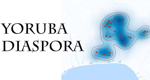
Yoruba Diaspora: A Cartographically Based Interactive Digital Archive (CBIDA) presents a series of annual maps for the collapse of the kingdom of Oyo between 1817 and 1836.
These maps, built using QGIS and R Shiny App, operate on a temporal scale, which is then linked into a content management system organized by each annual map and by individual slave ships containing caches of digitized primary sources, such as imagery of Yoruba speakers in diaspora, shipping manifests and registers of Liberated Africans.